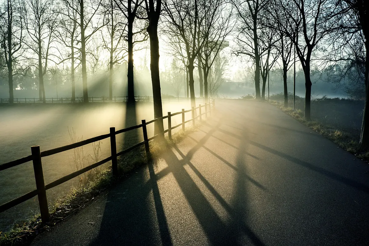
At half past five the phone in the tractor cab says sun. The field says otherwise: a thin grey drizzle has been falling since four, and the grass is wet to the ankle. The app is not lying, exactly. It is answering a slightly different question than the one you asked. In low-signal countryside that gap between the forecast on the screen and the weather over your fence opens up in a handful of familiar ways — and once you know them, you can read around them in about the time it takes to drink a coffee.
The Pin Is a Guess, Not a Place
Weather apps decide where you are using GPS, the nearest phone mast, or simply the last location that worked. When the signal is thin, they fall back on whatever they kept. That might be the town you searched for last November, a mast eight kilometres down the valley, or a cached coordinate from the top of the hill you crossed an hour ago.
The fix is simple and almost nobody does it: look at the place name printed at the top of the forecast, not just the icon. If it says a village that sits three hundred metres below you, subtract accordingly — clear nights in particular will be colder where you are than where the app thinks you are. Also remember that a forecast is issued for a grid square, not for your orchard gate. The square may be several kilometres across, and the app has no idea that your bottom field is a frost pocket.
Your Nearest Town Is Not Your Field
Rural weather is local in ways that a grid cannot capture. Cold air drains downhill on calm, clear nights and pools in hollows, so a valley-bottom plot can sit several degrees below the slope above it while both share the same forecast. Wind funnels through passes and gaps between hedges. A south-facing bank dries hours before the flat ground beside it. Rain can be heavy on one side of a ridge and barely damp on the other.
Practical responses that cost almost nothing:
- Keep a cheap maximum-minimum thermometer in the coldest corner of your land and read it every morning. Two weeks of that tells you more about your frost risk than a season of app icons.
- Note your elevation and which way the ground falls, and compare that with the elevation of the town the app defaults to.
- Identify your frost pocket now, in summer, while you are not in a hurry, and plant or plan around it.
- Treat any forecast within two degrees of freezing as a warning to check the thermometer, not as an answer.
Radar Shows Rain, Not Rain on You
A radar picture is a view of the sky, not of your yard. Echoes appear aloft, and a good deal of what shows up there never reaches the ground — it evaporates on the way down, or falls as drizzle so fine the rain gauge ignores it. Hills also block and shadow the beam, which is why the map sometimes looks empty over exactly the place that is getting soaked.
Two habits help. First, read the loop rather than the single frame: the direction and speed of the cells tells you far more than the colour over your postcode. Second, remember the delay. Radar images are typically several minutes old, and on a weak connection they can be older still. A band described as twenty minutes away may already be overhead. If you are moving hay or spraying, that difference matters.
Percentages Are Not Amounts
"Sixty per cent chance of rain" is the most misread number in any forecast. It describes the likelihood of measurable rain somewhere in the area during that period. It says nothing about how much, how hard, or for how long. A thirty per cent chance can deliver a downpour that misses you entirely; the same thirty per cent can produce a steady drizzle that ruins cut hay.
So read the other columns. Look for expected totals, the timing of the wettest hours, and how long the wet spell is forecast to last. Check the wind column for gusts rather than averages — the average rarely knocks a branch down. And treat the headline temperature as an air temperature measured in shade, well above the ground. Grass, soil and windscreens on a clear night run considerably colder, which is how you get a frosted windscreen on a morning the app called mild.
The Forecast Ages Quietly When the Signal Drops
This is the mistake that catches out even careful people. The app keeps showing the last forecast it managed to download, with all the confidence of a fresh one. There is no grey banner, no apology. In a yard with one bar of signal, you can spend an afternoon reading yesterday morning's outlook.
Before you leave the house, check the update time and remember it. Pull the forecast down while you still have signal, and take a screenshot of the day's detail — it will still be there when the connection is not. Keep a paper or notebook version of the week's outlook in the vehicle. If you have a barometer, physical or on an altimeter watch, watch the trend across the day rather than the absolute number; a falling needle on a summer afternoon is a useful nudge to get the hay under cover.
One more low-signal reality: cold drains a phone battery fast, and a dead phone is a worse problem than a stale forecast. Carry a charged power bank in winter and keep the handset somewhere warm rather than on a cold dash.
What the Ground Is Telling You
Local signs do not replace a forecast, but they are excellent at telling you whether today's forecast is behaving. Get into the habit of a quick look around before you check the screen — you will start to notice the same patterns in the same places.
- Wind direction and shifts. A backing wind, or a sudden change in the feel of it, often runs ahead of a change in the weather.
- Cloud build-up. Puffy cumulus that start early and grow tall by late morning are worth watching through the afternoon. Flat, grey, featureless cloud tends to mean dull rather than dramatic.
- Fog and dew. Where the fog forms and how long it takes to lift says a lot about moisture and about your frost risk the following night.
- Smoke. A bonfire plume rising straight and then flattening tells you about the wind above your head as well as at ground level.
- Soil and tracks. How quickly a lane dries, where the damp patches stay — that is your own drainage map, and no app has it.
Folk cues about birds and insects are best treated as reminders to look up rather than as instruments. They are unreliable in detail and useful mainly because they get you outside, paying attention.
A Five-Minute Routine Before You Trust the Screen
None of this requires special equipment or a meteorology course. It requires a short, repeatable check:
- Read the place name and, if it is shown, the elevation at the top of the forecast. Correct for the difference.
- Check the update time. If it has not refreshed in several hours, treat it as history.
- Look at the radar loop, not one frame, and add ten minutes of delay to whatever it shows.
- Compare the forecast with your own thermometer, barometer and eyes. Where they disagree, believe the ground first and the screen second.
- Ask what a wrong forecast would cost today — spoiled hay, a missed spray window, a cold night in the polytunnel — and build in a margin.
Do that and the app becomes what it should be: one voice among several, useful for the shape of the week ahead, and never the last word on the weather over your own gate.
Photo: Pexels / Pixabay